Land Survey Plat:
This type of survey is what is commonly called a “boundary survey”. After being provided with a current legal description of the subject property, a professional land surveyor reviews title information as well as deed information of adjoining properties. A thorough effort is made to recover monuments in the field, oftentimes including public land survey monuments (e.g. “section corners”, “quarter corners”) not necessarily adjacent to the subject property. Precise field measurements are made, field data calculated, and property corner positions determined by careful analysis. Frequently, legal descriptions of the subject and adjacent properties are in conflict with field measurements. The professional land surveyor documents these conflicts and prepares a detailed plat of the property boundary, setting the necessary property corner markers in the field. If the land surveyor has been provided with the appropriate title information, the land survey plat will also show the position of easements, rights-of-way and other encumbrances affecting the subject property. A land survey plat does not document improvements on the subject property, except where they are adjacent to the property lines.
Improvement Survey Plat:
This type of survey is similar to a Land Survey Plat but, in addition, documents the improvements upon the subject property. Improvements on adjacent properties that encroach into the subject property are also documented. In most cases, Land Survey Plats and Improvement Survey Plats are deposited at the Office of the County Surveyor for public access. In Boulder County, these maps are deposited at the Boulder County Land Use Department.
ALTA/NSPS Land Title Surveys:
This type of survey has to meet very specific requirements as defined by the the National Society of Professional Surveyors and the American Congress of Surveying & Mapping. The certification included in the “ALTA Survey” requires the Professional Land Surveyors to meticulously review title documents and perform a rigorous improvement and boundary survey of the subject property. The resulting map documents boundary lines, easements and other encumbrances, and details all improvements on a property. An “ALTA Survey” is often required in the purchase of commercial properties when out-of-state financing is involved.
Topographic Surveys:
This type of survey typically determines the “lay of the land”, its slopes, contours, etc. Typically these maps document existing improvements, significant trees and plants, and patterns of drainage. Often architects or planners use topographic maps to plan future projects. Topographic maps may or may not contain boundary line and easement information.
FEMA Elevation Certificate:
Property owners occupying land adjacent to, or within, flood hazard areas are oftentimes required to obtain flood insurance. Local, regional, state and federal governments have attempted, by way of professional engineering research and calculations, to establish the location and limits of flood hazard areas. The FEMA Elevation Certificate is a tool by which authorities determine if a specific property falls within a flood hazard area. Prepared by a professional land surveyor, this certificate is a detailed report documenting the elevation of structures and other property features with regard to base flood elevations as determined by FEMA. The information collected must be based on federally recognized benchmarks, not necessarily adjacent to the subject property.
Improvement Location Certificate:
An Improvement Location Certificate (“ILC”) is primarily used by mortgage and/or title companies to assist in residential property transactions. This certificate typically documents the location of improvements upon a parcel of land and graphically shows the location of easements and/or other encumbrances affecting the property as disclosed in information provided by the title company. Typically, the surveying methods used in the preparation of an “ILC” are not sufficient to precisely determine the location and dimensions of property lines, or the exact location of improvements upon or adjacent to the subject property. Therefore, an “ILC” should not be construed to be a land survey plat or an improvement survey plat. By State law the professional land surveyor who prepares an “ILC” must use a mandated certification that includes the following phrase: “…that it is not to be relied upon for the establishment of fence, building or other future improvement lines…” BLC does not typically provide this product.
Range of Services:
- Architectural Improvement Surveys (Improvement Survey Plats) – example
- ALTA/NSPS Land Title Surveys – example *first place winner at the 2020 PLSC Conference
- Bathymetric Surveying
- Boundary Dispute Analysis / Expert Witness
- Boundary Survey (Land Survey Plats) – example
- CDOT ROW Packages
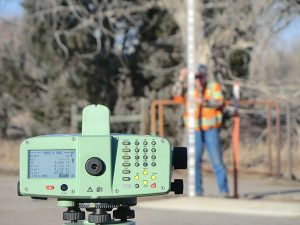
- Construction Layout
- Condominium Maps – example
- Geodetic Control Surveys – example
- GIS Deliverables
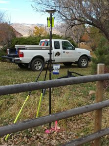
- GPS (global positioning system) Surveying Services
- Property and Easement Descriptions / Legal Document Preparation – example
- Research of Federal and State Resources and the Public Record
- Monumentation and Survey Point Restoration – example
- Mineral/Mining Claim Surveys – example
- Right-of-Way Analysis, Documentation and Determinations
- Subdivision Platting – example
- Topographic Mapping (Aerial and Conventional) – example *first place winner at the 2020 PLSC Conference